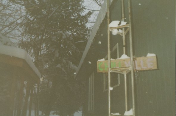
Welcome to the pictures of Chillville
The background is the topographical
map of the Minden, Ontario area
Click on each thumbnail to see larger
image
The description of each is to the left
of the image
See Map of
Hiking sessions
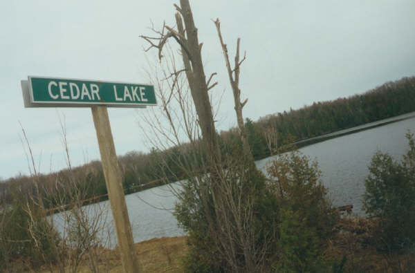
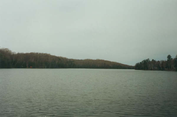
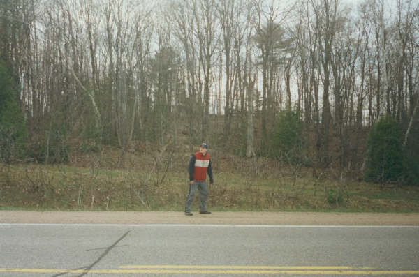
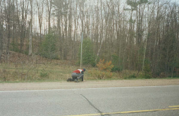
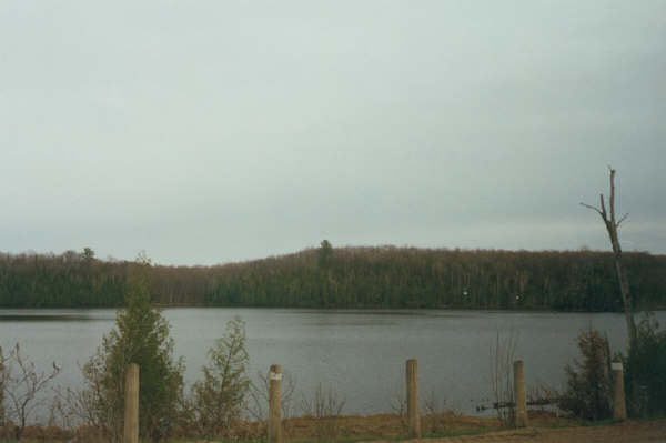
Cedar Lake, from Highway 35 Cedar Lake, from Hwy35
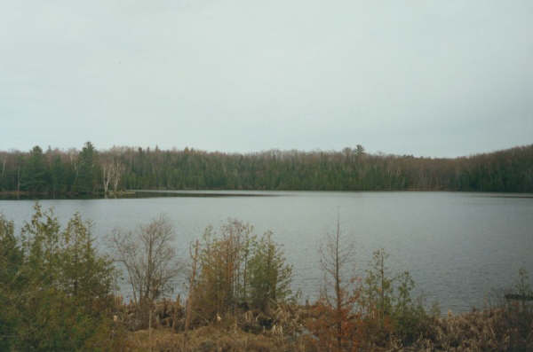
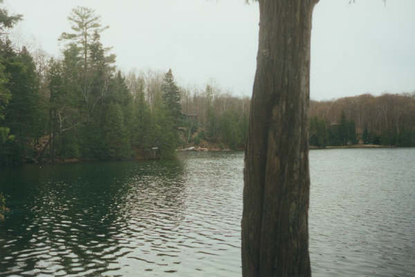
 Big Wreck (the tree) and Groupie Island
from Hwy 35
Big Wreck (the tree) and Groupie Island
from Hwy 35 Big Wreck and Groupie Island from Port
Chillville
Big Wreck and Groupie Island from Port
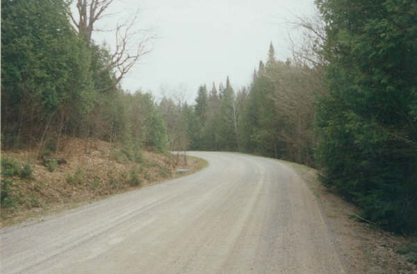
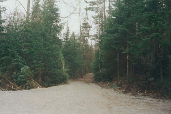
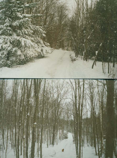
Chillville The Buller Road (see topo map)
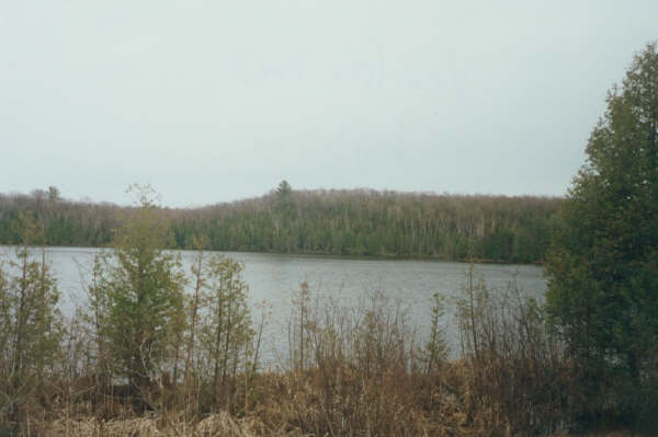
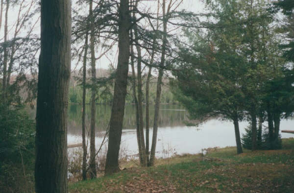
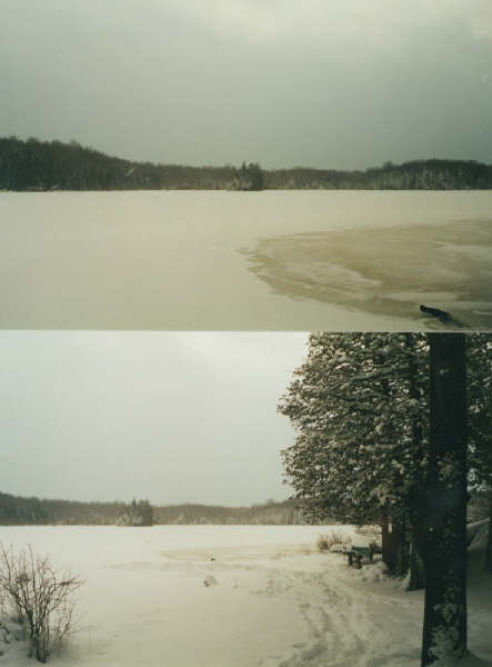
 Clear Lake
 Clear Lake
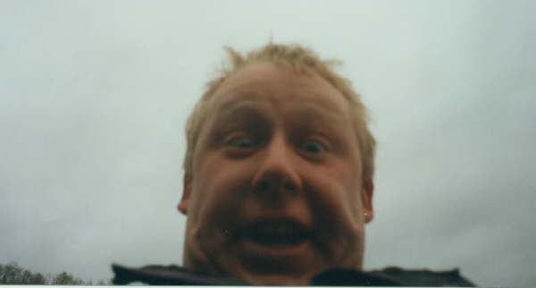
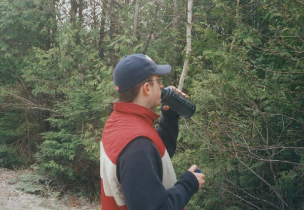
 Irnahorno Non
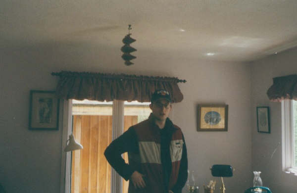
 Michael?
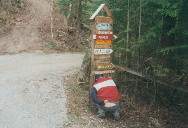
 Hereto lies within the ass and the
bridge
Hereto lies within the ass and the
bridge
 Keyboardist?
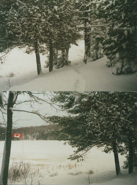
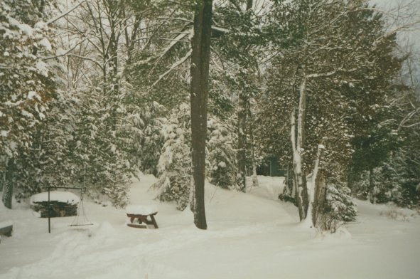
 Port Chillville
 Water son
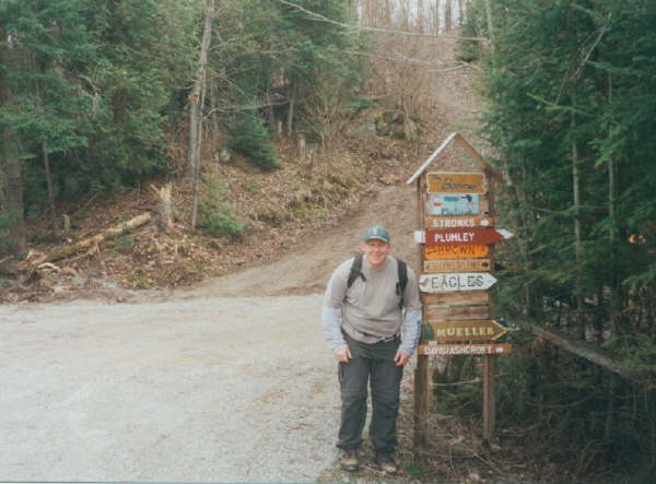
 Picture from hike session
 Big Wreck from Hwy35
 We must rid America......
 Port Chillville
 Big Wreck and the southern shore of
Cedar Lake
Big Wreck and the southern shore of
Cedar Lake Chillville and Port Chillville
 Hwy35, from Chillville Road
 Port Chillville
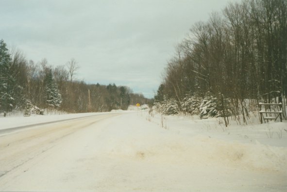
 Road to Chillville. And perdition
 Port Chillville
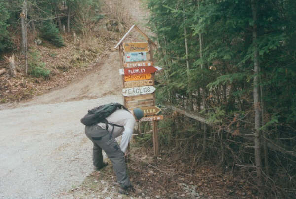
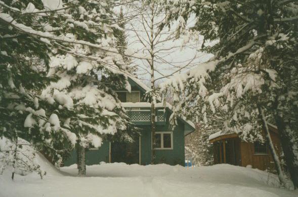
 Entrance to Chillville
 Chillville, Son
 Back to Welcome
Page
Back to Welcome
Page